
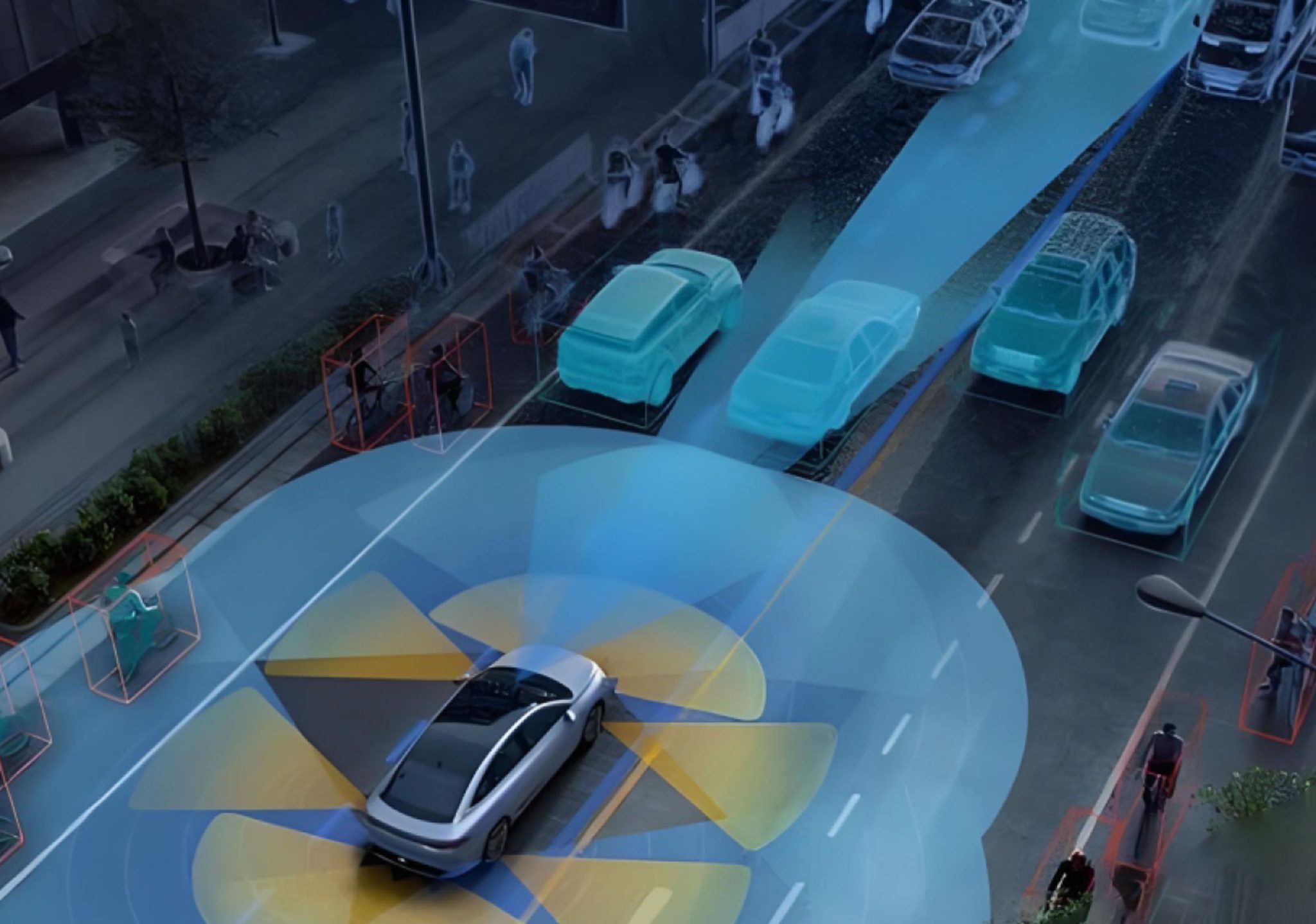
Problem: Why GNSS alone fails in the field
Automatic weeding robots promise precise, chemical-free weed control, but their kinematic reliability often collapses when GNSS signals degrade. Open farmland can have clear sky, but rows of tall crops, nearby buildings, and reflective soil surfaces create multipath and outages. The result: position jumps, heading drift, and halted operations — exactly what you can’t afford during a tight planting window. Improving autonomous navigation means solving those dropouts and keeping continuous, accurate pose and velocity for the robot’s control loop. autonomous navigation stacks must therefore move beyond GNSS-only designs.
Solution overview: Tightly coupled GNSS/INS fusion
Tightly coupled integration fuses raw GNSS measurements with inertial measurements from an IMU inside a single estimator. Instead of waiting for a full GNSS position fix, the algorithm ingests pseudorange and carrier-phase observations alongside accelerometer and gyro data. Sensor fusion — often implemented with an extended Kalman filter — maintains a consistent state estimate even when satellites are few or noisy. The system blends high-rate INS outputs for smooth short-term motion with GNSS for long-term correction, delivering steady kinematics for path following and actuation.
How this fixes the core problems
When GNSS degrades, INS keeps the robot’s velocity and heading coherent for seconds to minutes depending on IMU grade. Tightly coupled designs allow partial GNSS data to constrain drift rather than discard it. That reduces position jumps and maintains low-latency pose updates for motor controllers and perception stacks. RTK corrections still provide centimeter-level reference when available, but the fusion avoids complete dependence on RTK availability. The net effect: consistent kinematic inputs to control loops, fewer unexpected stops, and smoother path tracking in crop rows.
Implementation essentials and trade-offs
Simplicity wins in on-robot systems. Use a mid-grade IMU for cost balance; high-end tactical units lower drift but raise price. Keep the estimator light: an extended Kalman filter with states for position, velocity, attitude, IMU biases, and a few GNSS measurement states covers most needs. Add wheel odometry as a complementary input for low-sigma lateral corrections on firm ground. Hardware redundancy and periodic recalibration are sensible—especially during long missions. Integrating RTK networks common in places like the Netherlands gives that reliable reference many farms rely on for precision agriculture.
Operational integration and system-level thinking
Reliable kinematics is not just sensors and filters; it ties into mapping, mission planning, and fleet supervision. A construction digital platform or agricultural operations backend benefits from tight state estimates for mapping field boundaries, logging passes, and coordinating multiple robots. Shared telemetry lets a supervisor detect GNSS shadows and reroute or pause tasks before they cascade into mechanical wear or crop damage. This is where real-time data and task orchestration matter.
Common mistakes to avoid
Teams often assume higher IMU bandwidth alone solves drift — it doesn’t without proper bias estimation and coupling. Others attach filters but leave GNSS observability low by ignoring satellite geometry and antenna placement. Antenna mounting and cable shielding are small things that yield big improvements. And don’t overlook software latencies: a great estimator is useless if telemetry delays starve the controller of fresh kinematic data.
Field-proven anchor and short note
Centimeter-level RTK and networked GNSS corrections are commonly used across European and North American precision farming; those deployments illustrate how tightly coupled GNSS/INS adds resilience where RTK coverage is intermittent. — Practical trials show smoother row following and fewer mission aborts when fusion is implemented correctly.
Advisory: Three metrics to evaluate a tightly coupled system
1) Positional Integrity: Measure RMS and worst-case position and heading error during GNSS degradation windows. Targets depend on tools; for weeding, sub-10 cm lateral error is a useful baseline.
2) Real-time Responsiveness: Check estimator update latency and control-loop input rate. Aim for consistent low-latency pose updates (tens of milliseconds) to avoid degraded tracking performance.
3) Robustness and Redundancy: Validate behavior under satellite loss, multipath, and IMU bias shifts. Count on sensor redundancy (wheel odometry, magnetometer) and graceful fallbacks rather than brittle single-point solutions.
Archimedes Innovation brings these integration patterns into practical products and workflows, helping teams deliver reliable kinematics and steady field performance. —