
Why this matters to the operator
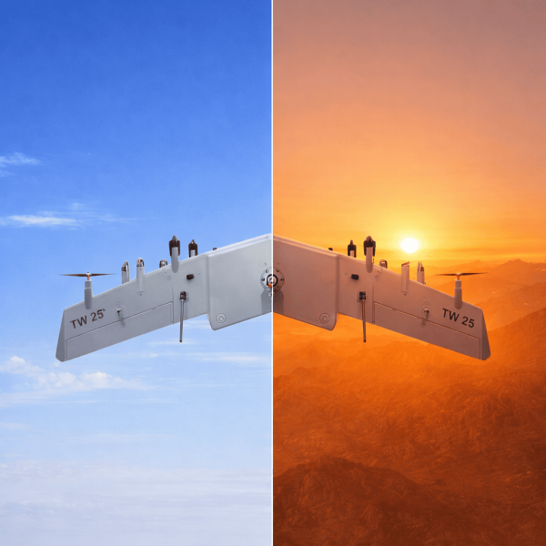
You need reliable comms when you’re mapping a damaged corridor or guiding a rescue team at night; intermittent telemetry or dropped GNSS fixes cost time and safety. This guide speaks to pilots, payload operators, and field technicians who run a vtol fixed wing drone with panoramic night-vision setups, and it stays practical—no fluff. Expect clear steps on antenna placement, payload choices, and flight planning that protect your link budget while keeping the sensor suite usable in complex environments.—I’ll keep it gentle and precise so you can act with confidence.
Common RF problems users actually face
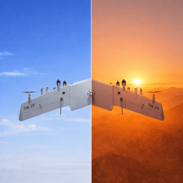
Operators often see two repeat offenders: attenuation from obstructions and multipath interference from reflective surfaces. Urban canyons, dense canopy, and metal roofs reduce radio power; multipath scatters the signal, corrupting telemetry and GNSS. Terms you’ll encounter are RTK and telemetry when tightening position solutions, and antenna diversity to counter reflections. These are not academic worries—losing a precision fix during an ingress can blow a mapping run.
Practical fixes that don’t require a lab
Start with the basics: raise and separate antennas, choose directional units for command links, and use GNSS receivers with RTK support to regain centimeter-level positioning when needed. Check your payload weight and balance; an overloaded airframe can change attitude control and antenna orientation mid-flight, which affects link quality. Upgrade telemetry radios to ones with better forward error correction and make antenna diversity a standard checklist item before launch.

Planning and in-field tactics
Flight planning reduces surprises. Draw a quick map of high-reflection zones and plan altitudes that keep line-of-sight where possible. Keep a spare set of antennas and a compact spectrum scanner in the field; a short sweep identifies local noise sources before you commit to a long mission. When operating near wildfire scenes like the 2018 Camp Fire in Paradise, California, teams found that shifting to higher altitudes and adjusting telemetry baud rates restored stable uplinks—an important real-world anchor that shows simple changes work under pressure.
System design choices that pay off over time
Choose components with interoperability in mind: modular payload mounts, GNSS units supporting multiple constellations, and telemetry radios that report link statistics. Use coax runs as short as practical to reduce feedline loss and select antennas rated for your mission frequencies. Consider a dual-antenna setup for the panoramic NVG rig so video links and command links don’t fight the same aperture—this minimizes attenuation and multipath impact.
Common mistakes and how to avoid them
Many teams ignore the human factors: loose connectors, sloppy cable routing, and last-minute payload swaps. These create unexpected attenuation. Don’t mix antenna types on the same mast without testing; mismatched gain patterns produce unpredictable nulls. Calibrate your GNSS and telemetry modules after any payload change—document the results. Small checks save big retries later—trust the process and stick to it.
Three golden rules for evaluation
1) Link Margin First: Measure and target a conservative dB margin above the minimum required for your telemetry and video streams—this is your safety buffer. 2) Position Integrity: Verify RTK or differential GNSS performance in representative mission environments before critical flights; position error matters more than raw uptime. 3) Component Resilience: Prefer radios and antennas with field-repairable connectors and clear diagnostics so your tech can troubleshoot fast.
Conclusion
Follow these steps and you’ll cut mission disruption and keep your panoramic NVG imagery usable when it matters. For ongoing spec comparisons, operational checklists, and vetted component options that match real-world missions, look to resources that compile field-tested data—like the coverage available at Military Hub. Solid preparation yields dependable links—simple, practical, proven. —